
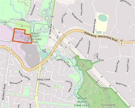
The section of Mullum Mullum Creek covered in this post goes through one of the last tracts of orchard land and bush in Doncaster to consumed by suburbia. It is bounded south and north by Reynolds Road and Warrandyte Road, to the west Andersons Creek Road and transmission lines to the east.

Here it is in the 1977 Melway Street Directory map of the area. The image is from the University of Melbourne Library digitised collection. This is an excellent resource for exploring changing land use since the 1960s.
This locality was known as Deep Creek, the alternate name for Mullum Mullum Creek. In 1878 the Deep Creek school was built in Andersons Creek Road, just south of Reynolds Road, but enrolments fell because the expected village near the creek did not eventuate and in 1887 the school was moved 3 km south and became the Doncaster East school. Now a quiet connecting road, Anderson’s Creek Road was once the only route to Warrandyte, formerly known as Anderson’s Creek.
A bridge was not built on Reynolds Road until the late 1960s and Springvale Road that now forms a busy intersection near the creek did not go all the way to Reynolds Road until the 1980s. So this area remained rural until almost the end of the 20th century.


A large bush park is on the western side of the creek. Originally owned by an orchardist, the land was not cleared because of it steep slopes and rocky soil. In 1957 Robert Elder, a solicitor, bought 24 hectares on Reynolds Road and built his family home. The site remained as bushland and was compulsorily acquired by the MMBW in 1972 as part of a plan for a green ring around Melbourne. More on this later, but for now this is where I parked my car and walked down the hill to near the Reynolds Road bridge and the start of the day’s trek.


The valley is wide and benefits from views through to the bush on the other side of the creek. Except for traffic noise that never quite disappears, it is a pleasant walk. That is until a kilometre from Warrandyte Road the path is once again blocked.

A cyclist was clambering around the fence, bike held above his head. He told me it the trail was closed at Warrandyte Road and he had used streets to get most of the way. As I had planned for my return journey to be on the other side of the creek, I followed the detour sign up into the suburbs.


Deep Creek Drive is a recent revival of the area name, it winds through the new subdivisions. I had one last glimpse of the trail, between two houses, before turning west and climbing further up the hill.


This is the land of oversize houses on steep blocks, the gardens clipped to attention.

Arriving at last a Warrandyte Road I looked for evidence of the final private school built adjacent to Mullum Mullum Creek. But nothing remains of the short lived Kingswood College Doncaster, another school built in anticipation of a growing population, but ahead of its time and a victim of the late 1980’s recession.
The collection of portable buildings was acquired by Box Hill TAFE, but this failed too and the space is now housing and part of the Mullum Mullum Trail.
Across Warrandyte Road is the Deep Creek Reserve, home to a rather impressive baseball diamond. The creek runs alongside and the path follows a boardwalk and then a bridge.


If you look at the above map you can see the creek then goes through the Templestowe Terminal Station. The high voltage powerlines that have shadowed my journey all the way from Ringwood bring the Latrobe Valley electricity to this point. While they are not very attractive, at least the easement has made the creation of a bushland trail a little easier. As seen on the openstreetmap.org plan below, the terminal station now occupies a much smaller area and a large portion has become public land.
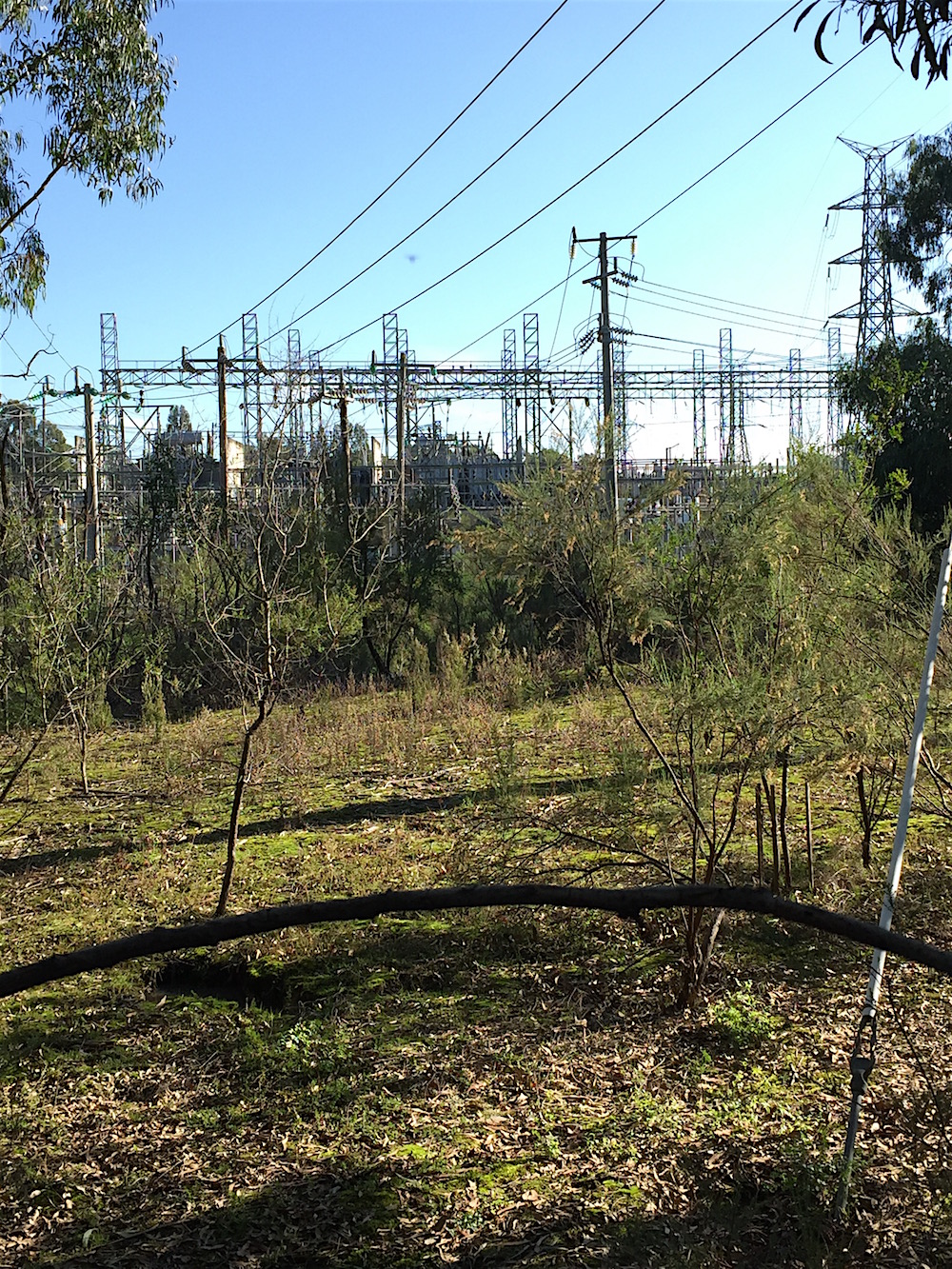
This map also confirms something I had long suspected. Alongside the transmission lines coming up from Ringwood, there is another line coming in from Coldstream. This goes through South Warrandyte and I frequently pass underneath. In misty or foggy weather the lines are silent, unlike the buzzing I have heard on the line in Ringwood. You can see the towers are shown on the map, but there is no wire connecting them. That is because the line is inactive, it was turned off when a new route north was built. The wires exist, they just don’t do anything.


The creek runs beside the fence and the path wanders through the slowly regenerating bush. The kangaroos that frequent the area ignore the warning signs.
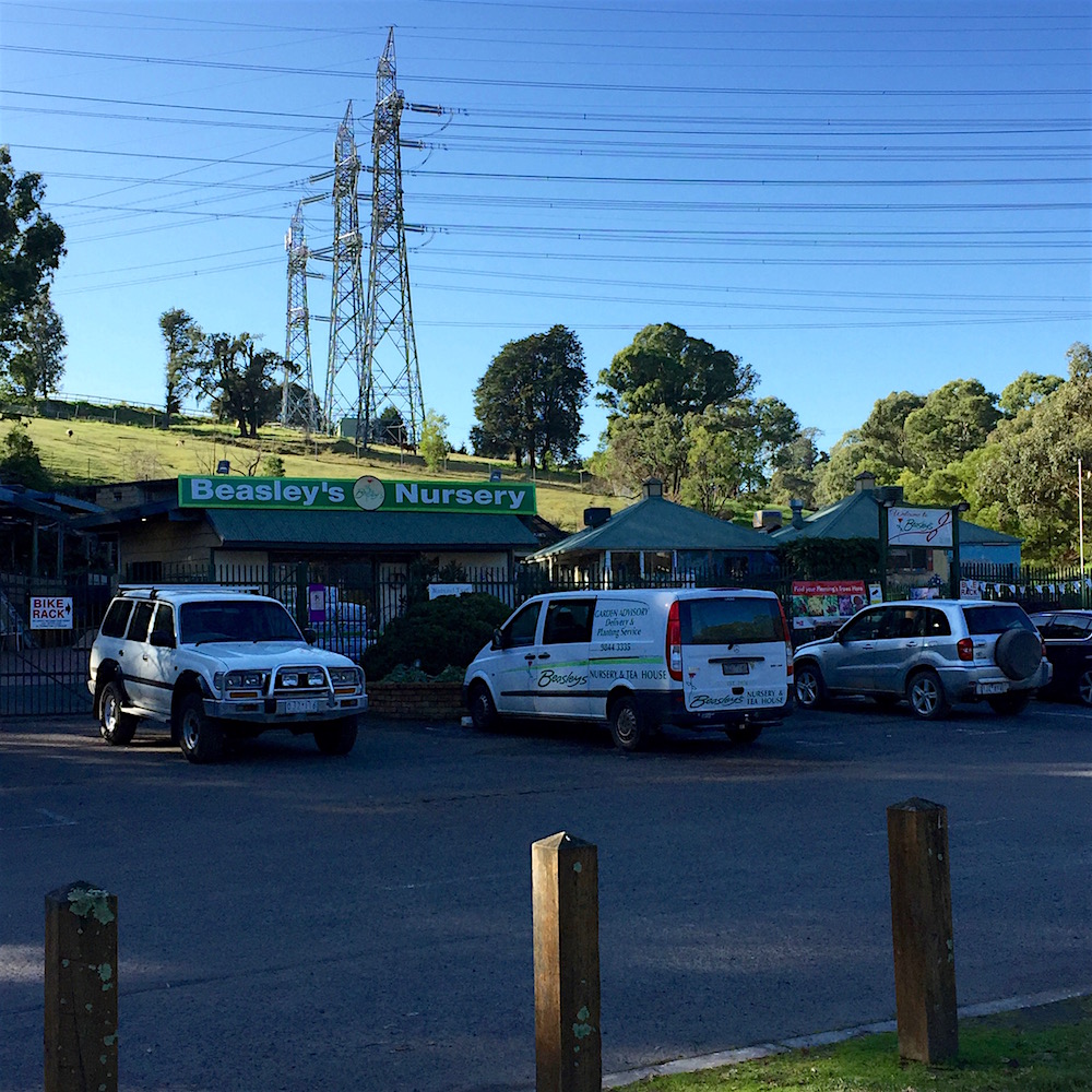

Time to head back. But not before stopping in for a coffee at Beasley’s Nursery.

It is interesting comparing the street maps over time, isn’t it?
I didn’t notice the kangaroos at first.
Your journals of your walk have been very interesting. Who would have thought driving along the Eastern past Doncaster and those huge homes, that there would be such lush and beautiful trails running through. Love the 1977 Melways map page.